This article will delve into the secrets of navigation and orienteering in the backcountry, providing readers with the knowledge they need to find their way through the wilderness. From using a compass to reading a map and navigating by the stars, this guide will cover a range of techniques and tools that can help you stay on track and reach your destination safely.
Whether you’re on a day hike or a multi-day backpacking trip, getting lost in the backcountry can be a frightening experience. The wilderness is vast, and without the proper knowledge and tools, finding your way can be nearly impossible.
That’s why it’s essential to learn the secrets of navigation and orienteering in the backcountry. With the right techniques and tools, you can confidently explore the wilderness and reach your destination with ease.
The Basics of Navigation
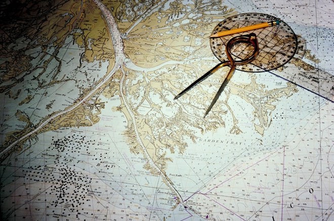
The basics of navigation involve three essential tools: a map, a compass, and your senses. A map provides a visual representation of the area you’re exploring, including topography, landmarks, and trails. It can help you identify key features in the area and plan your route.
A compass helps you determine your direction of travel and maintain a heading, even when you can’t see the sun or stars. It consists of a magnetic needle that points towards the Earth’s magnetic north. By orienting the map with the compass, you can determine your current location and the direction you need to travel in to reach your destination.

Your senses, such as your intuition and natural sense of direction, can also be useful for navigation in the backcountry. By paying attention to your surroundings and using your instincts, you can often make accurate judgments about your location and direction of travel.
For example, if you’re hiking in a forest and the sun is obscured by clouds, you might be able to use the direction of the wind or the position of the trees to determine which way to go.
Reading a Map
Reading a map is an essential skill for navigating in the backcountry. Maps provide a visual representation of the area you’re exploring, including topography, landmarks, and trails. Here are the basic steps for reading a map:
- Orientation: The first step in reading a map is to orient it so that it corresponds with the landscape around you. This can be done by aligning the map’s north-south axis with the true north on the ground, using a compass, or by matching up visible landmarks.
- Scale: The scale of the map represents the ratio of the distance on the map to the actual distance on the ground. It’s important to know the scale of the map to accurately plan your route.
- Topography: Understanding the topography of the area is important to navigate effectively. Contour lines on the map represent changes in elevation, with each line indicating a specific height. By reading the contour lines, you can identify steep terrain, ridges, and valleys, which can help you plan your route.
- Symbols and colors: Maps use a range of symbols and colors to represent different features, such as roads, trails, and bodies of water. It’s important to become familiar with these symbols and colors so that you can easily identify key features of the area.
- Legend: The legend on the map provides a key to the symbols and colors used on the map. It’s important to refer to the legend to understand the meaning of the various symbols and colors.
- Grid lines: Most maps have a grid of horizontal and vertical lines that divide the map into squares. These grid lines can be used to identify your location and plan your route.
- Direction: Maps indicate direction using north-south and east-west lines. By understanding the direction indicated on the map, you can plan your route and navigate effectively.
Overall, reading a map requires an understanding of orientation, scale, topography, symbols and colors, legend, grid lines, and direction. By mastering these skills, you can navigate safely and effectively in the backcountry.
Using a Compass
Using a compass is an essential skill for navigation in the backcountry. A compass is a tool that helps you determine your direction of travel and can be used in combination with a map to plan and navigate a route. Here are the basic steps for using a compass:
- Orienting the compass: Hold the compass level in your hand and align the needle with the orienting arrow on the baseplate. Then, turn the entire compass until the orienting arrow is aligned with the north-south lines on the map. The direction of the travel arrow on the baseplate will now point in the direction north.
- Determining your direction: Once you have oriented the compass, turn the entire compass until the direction of the travel arrow is pointing in the direction you want to travel. The magnetic needle will now indicate your direction of travel.
- Following your direction: As you walk, keep the compass level and in front of you. Turn your body until the magnetic needle is aligned with the orienting arrow on the baseplate. This will keep you heading in the correct direction.
- Checking your progress: Periodically check your progress using the map and compass. Identify prominent landmarks on the map and check them against the features you see around you. Make adjustments to your direction of travel as necessary.
It’s important to note that a compass only provides direction, not distance. To accurately plan a route, you’ll need to use a map and consider factors such as terrain, elevation, and trail conditions.
Additionally, it’s important to take into account the declination – the difference between true north and magnetic north – and make the necessary adjustments to your compass readings.
Overall, using a compass is an important skill for navigation in the backcountry. By mastering this skill, you can navigate safely and effectively, even in areas without clearly marked trails or landmarks.
Navigating by the Stars
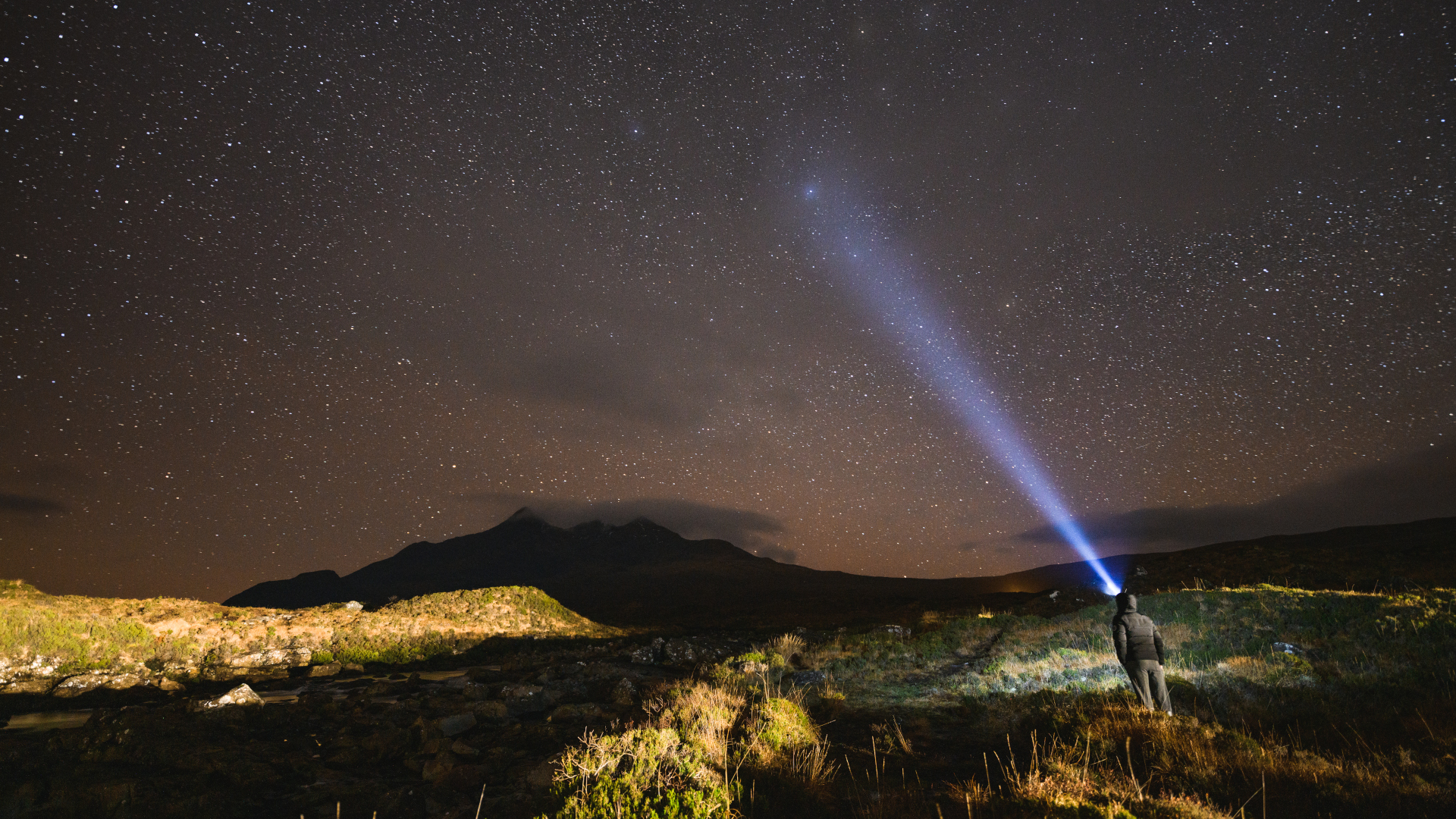
Navigating by the stars is an ancient technique for finding direction at night, which can be helpful in the backcountry where a compass or map may not be available. Here are the basic steps for navigating by the stars:
- Find the North Star: The North Star, also known as Polaris, is the star located closest to the north celestial pole. To find it, first, locate the Big Dipper constellation. The two stars at the end of the Dipper’s bowl form a line that points to the North Star. The North Star is always in the same place in the sky, making it a reliable reference point for navigation.
- Determine your latitude: The altitude of the North Star above the horizon will tell you your approximate latitude. To do this, use your fist to measure the distance between the horizon and the North Star. Each fist-width is approximately 10 degrees of altitude.
- Use other stars to find direction: Once you have located the North Star and determined your latitude, you can use other stars to find your direction of travel. Look for other constellations or individual stars that are aligned in a particular direction. For example, the constellation Orion is often visible in the winter, and its belt points to the star Sirius, which is located in the southeast.

Navigating by the stars can be a challenging skill to master, especially if you are not familiar with the night sky. It’s important to practice this skill in a safe environment, with plenty of time and clear weather. Additionally, it’s important to remember that this technique is not as precise as using a compass or map, and should be used in combination with other navigation tools for the best results.
Other Techniques and Tools
There are many other techniques and tools that can be used for navigation in the backcountry. For example, using landmarks such as rock formations or trees can help you stay on track. GPS devices can provide a precise location and can be helpful for tracking your progress. Additionally, knowing how to read the weather and identify potential hazards can help you navigate safely and avoid dangerous situations.
Conclusion
Navigating and orienteering in the backcountry can be challenging, but with the right techniques and tools, it can also be a rewarding experience. By understanding the basics of navigation, using a map and compass, and exploring other techniques and tools, you can confidently explore the wilderness and reach your destination with ease. Remember to always be cautious and take necessary precautions, such as carrying extra food and water, to ensure your safety while navigating the backcountry.
